
The gap
Imagery, drone footage, field reports, sensors, and GIS layers exist. The missing piece is a sovereign fusion layer that turns them into one operating picture.
Airclipse builds AI-powered geospatial intelligence for African defense, security, infrastructure, maritime, resources, and climate missions.
Africa cannot protect critical terrain with fragmented feeds, delayed analysis, and externally controlled decision loops.
Imagery, drone footage, field reports, sensors, and GIS layers exist. The missing piece is a sovereign fusion layer that turns them into one operating picture.
Satellite access, unmanned aerial collection, edge compute, and geospatial AI are converging at the moment African institutions need faster evidence.
Airclipse is building the space-to-decision layer that ingests Earth data, analyzes what matters, and routes verified intelligence into operational workflows.
The platform must earn trust in sensitive environments, support constrained infrastructure, and protect customer and operational confidentiality.
Airclipse does not need to own every satellite or build every drone. The company focuses on the harder layer: trusted fusion, verification, and decision support.
Satellite cues identify the signal. GeoIntel-X fuses the context. Drone, field, sensor, or analyst confirmation closes the loop before a decision moves.
We help institutions move from raw imagery and disconnected feeds to verified evidence, controlled workflows, and decisions made inside the right jurisdiction.
The platform is not a generic map. It is built around mission context, controlled data, and the need to verify before decisions move.
Each deployment begins with terrain, approved data sources, operating owner, legal boundary, and consequence of delay.
GeoIntel-X can sit above satellite imagery, drones, AIS, ground sensors, field reports, OSINT, and trusted GIS layers.
The platform posture supports data residency, access control, auditability, and sensitive workflows that stay in jurisdiction.
When the image raises a question, the system can route drone, field, or sensor confirmation so evidence is not left ambiguous.
Airclipse is anchored in Abuja, Nigeria, and built for the continent’s operating realities: borders, coasts, cities, infrastructure corridors, and critical terrain.

The institutional center of gravity for Airclipse’s Africa-first intelligence work.
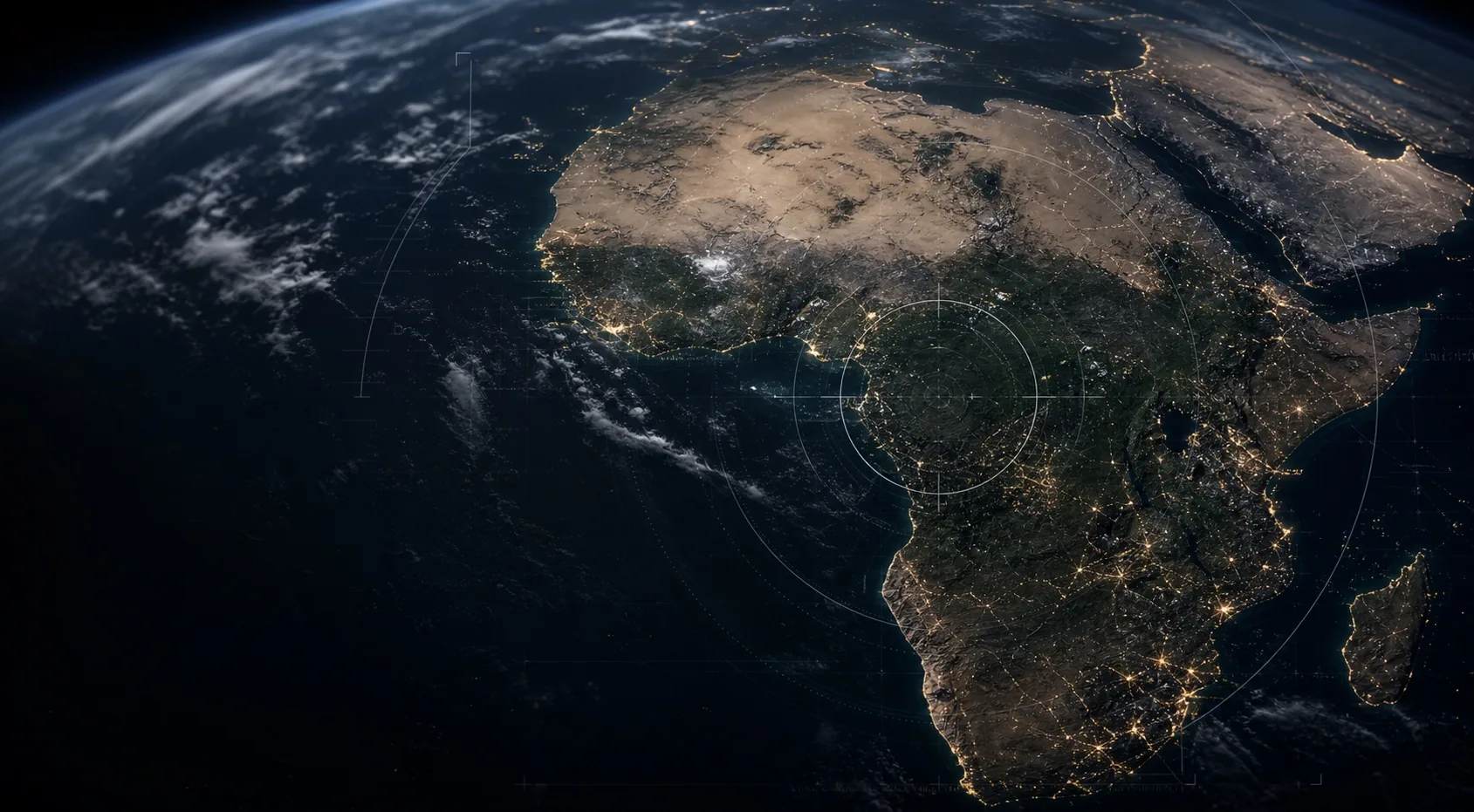
From borders and coastlines to cities, resource corridors, and critical infrastructure.
Start with the terrain, approved data sources, operating boundary, and consequence of delay. Airclipse will map how observation becomes verified intelligence.