
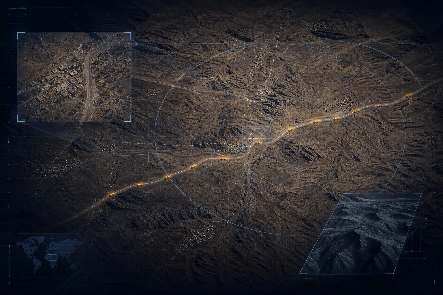
Persistent visibility across sensitive terrain.
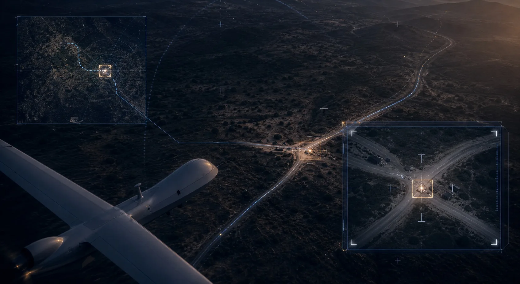
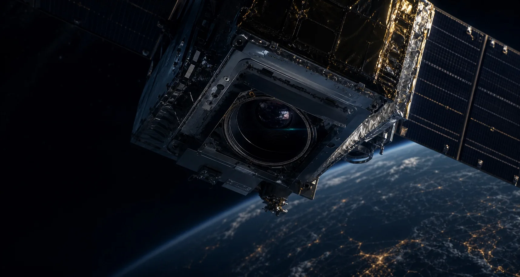
Satellite cues, drone confirmation, and field reports fused into time-stamped institutional evidence.
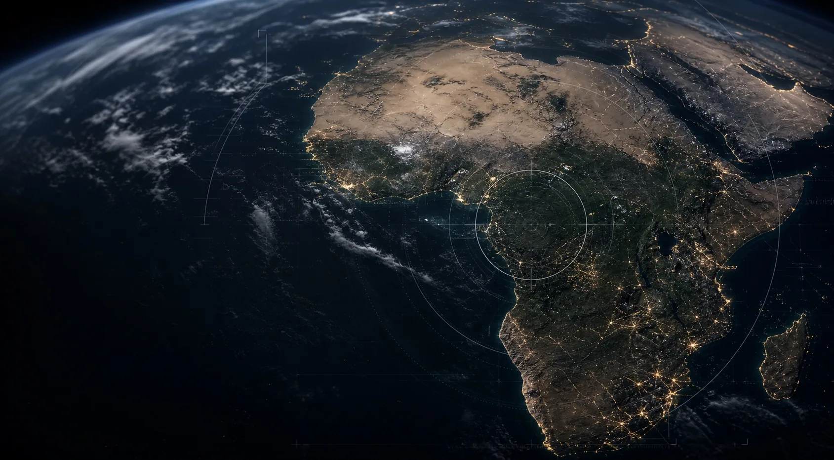
Airclipse applies Earth observation, geospatial AI, and verified workflows to the domains that shape African security, resilience, infrastructure, and growth.
From ports and cities to critical infrastructure, resource corridors, and climate-exposed land, GeoIntel-X makes objects, change, exposure, and activity visible where African institutions need better evidence.
Satellite cues, drone confirmation, and field reports fused into time-stamped institutional evidence.
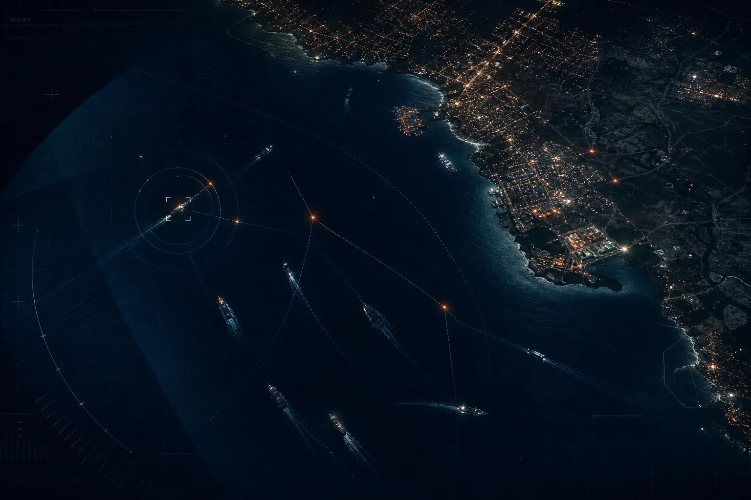
Multi-source intelligence for vessels, ports, coastlines, illegal fishing, and logistics corridors.
Monitor ports, pipelines, power corridors, roads, rail, mine sites, resource routes, and other high-consequence infrastructure.
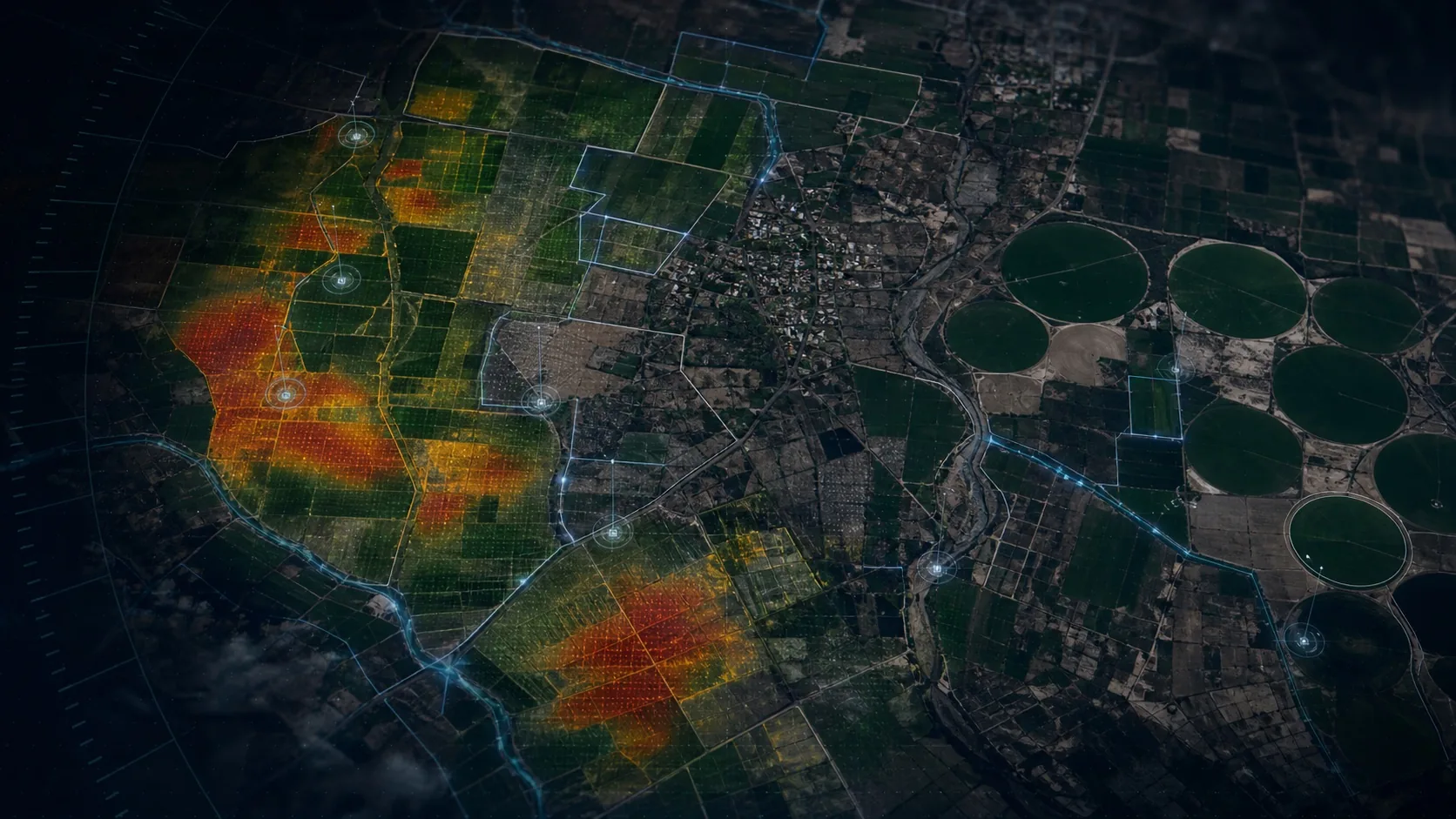
Transform agriculture, drought, flood, land-change, and environmental signals into intelligence for climate resilience.
Monitor land use, settlement growth, mobility corridors, construction progress, and encroachment risk.
Support visibility for solar farms, power lines, substations, oil and gas corridors, and remote facilities.
Every deployment starts with plain operational questions: what changed, what moved, what is exposed, what can be verified, and who needs to act.
Track route activity, corridor movement, coastal events, and areas where stale reporting creates risk.
Prioritize ports, pipelines, power corridors, and strategic facilities using change and risk signals.
Link resource corridors, export points, strategic sites, and field evidence into an auditable record.
A satellite observation can identify the anomaly. Drone, field, or analyst confirmation can validate what matters. GeoIntel-X turns those signals into evidence, alerts, and workflows that fit the institution using them.
Get in touch