
Defence & Security Intelligence
Mission focus
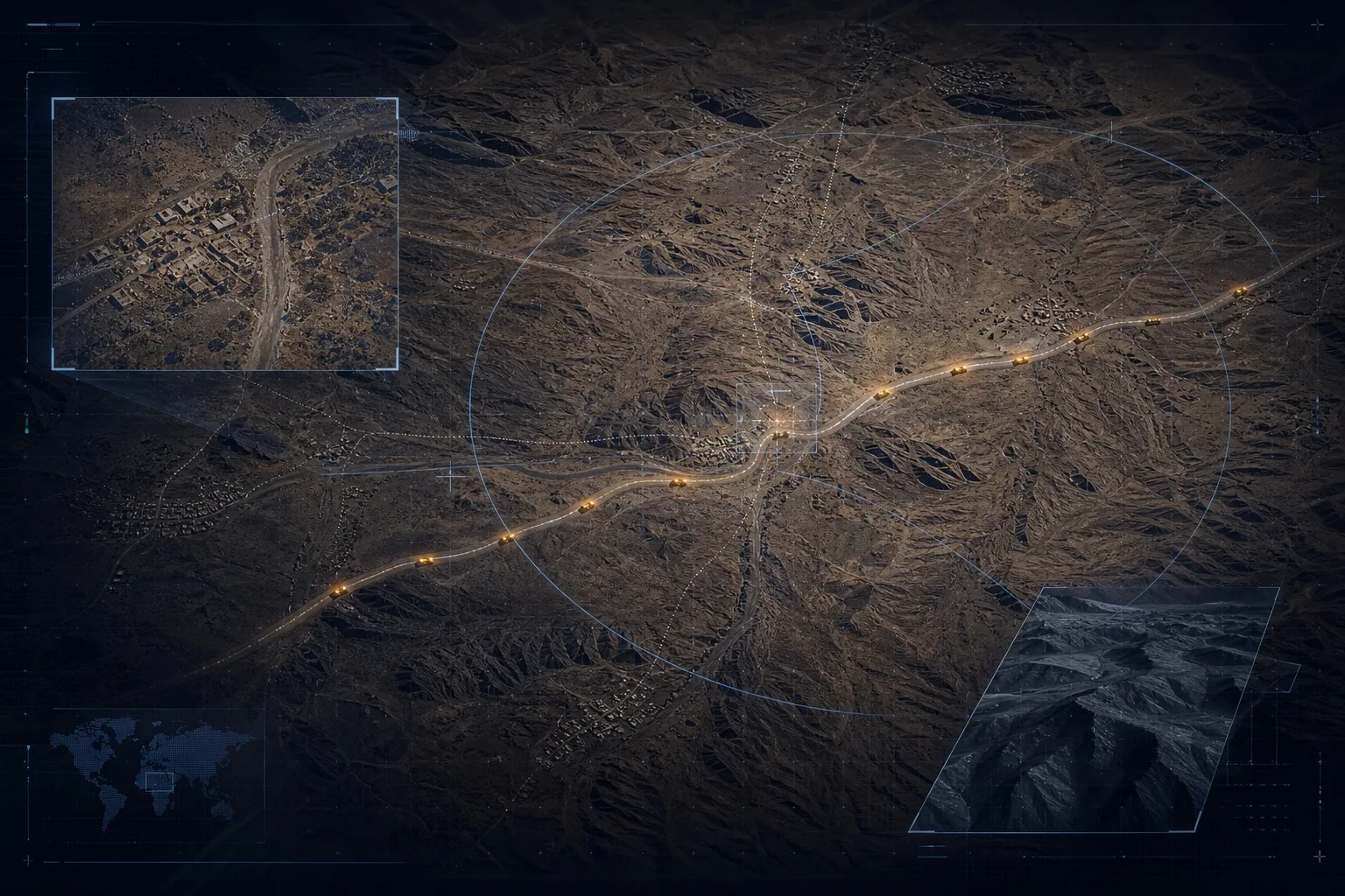
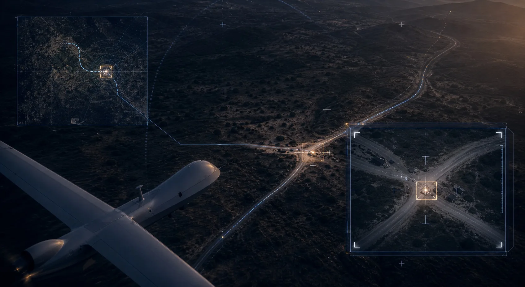
Border visibility, convoy risk, route monitoring, and sensitive-site intelligence for teams operating under pressure.
More than 30 million km² of operational terrain. Sovereign geospatial capacity remains fragmented, foreign-dependent, and far below the continent’s strategic need.
In the next decade, nations will be defined by how fast they can turn data into decisions. Airclipse ensures Africa is not left behind.
Four mission surfaces where satellite, drone, and field intelligence move from observation to decision.
Border visibility, convoy risk, route monitoring, and sensitive-site intelligence for teams operating under pressure.
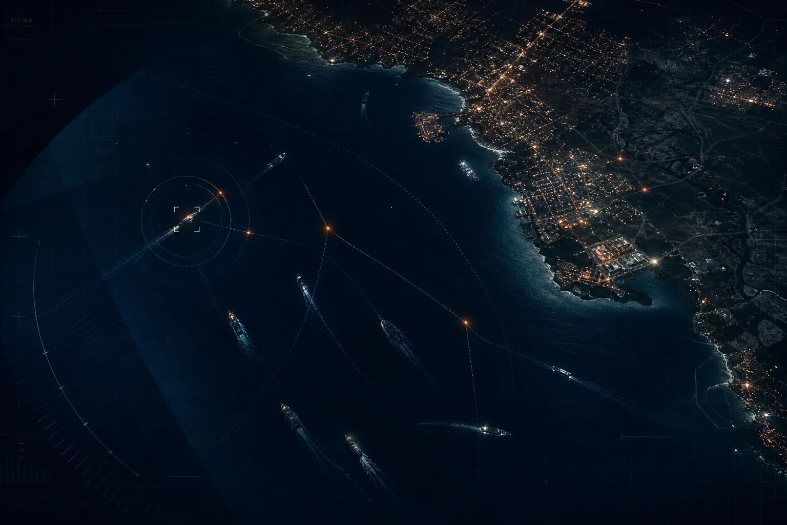
Vessel movement, port activity, coastline change, AIS context, and offshore risk fused into a usable operating picture.
Power, pipelines, roads, rail, telecoms, ports, mine sites, and resource corridors monitored for disruption and change.
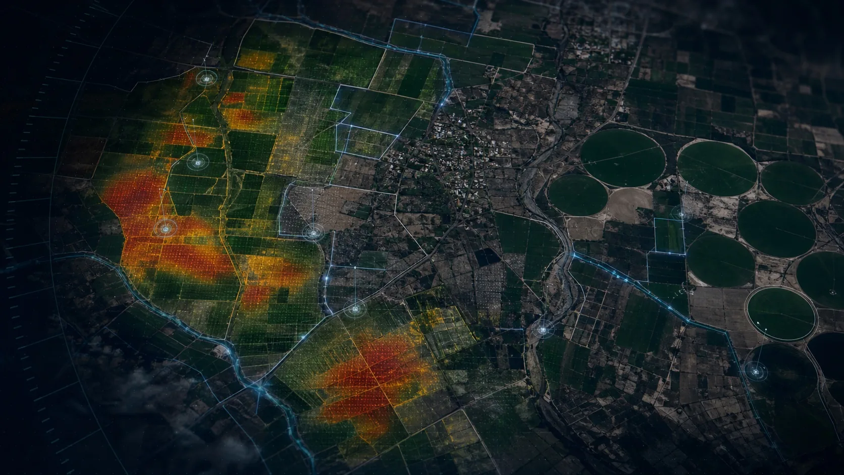
Crop stress, drought, flood, land change, and environmental exposure translated into resilience intelligence.
Bring the terrain, data sources, operating boundary, and consequence of delay. Airclipse will map how observation becomes verified evidence for that context.